SURVEYING AND EARTHWORKS
GNSS RTK Surveying and Earthworks in Tierra del Fuego
With offices in Ushuaia and Río Grande, we mobilise to project sites throughout Tierra del Fuego.
At Costa Sur, we provide GNSS RTK surveys and setting out, earthworks calculations, quantity take-offs and drawings for projects across Tierra del Fuego. We turn survey data into information for setting levels, calculating cut and fill, and recording completed work.
Our work supports initial design, construction planning and as-built documentation. For each stage, we agree on the survey limits, available reference data and required deliverables.
Site surveying and setting out
We survey points and elevations to represent the ground surface and relevant site features. For setting out, we transfer the design points and levels from the drawings to the site, using the agreed survey control.
GNSS RTK surveys of horizontal positions and elevations.
Setting out points and levels for construction.
Survey point records with coordinates, elevations and feature codes.
As-built documentation of the final ground surface.
Earthworks calculations and drawings
We use digital terrain models in Civil 3D to compare surfaces and calculate earthworks volumes. Quantity take-offs are organised by the project stages and areas, with the calculation basis and units stated.
Deliverables within the agreed scope
Models of existing ground, design surfaces or surveyed surfaces.
Cut-and-fill quantity take-offs.
Drawings with points, elevations, contours and location references.
Cut-and-fill depth maps and plans showing the areas of earthworks.
Survey reports and point data files for use by the project team.
Project reference: Río Grande
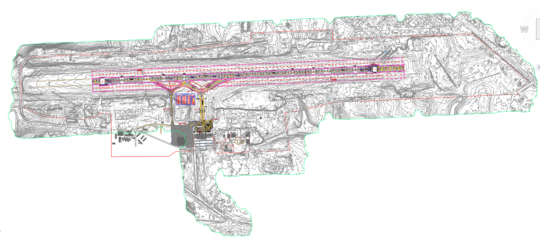
The as-built earthworks report for Aeropuerto de Río Grande, prepared by engineer Cristian Echeverría and submitted under Vial Norcar, records a GNSS survey of 785 points and volume calculations using triangulated irregular network (TIN) surfaces in Civil 3D. It demonstrates the connection between surveying, terrain modelling and technical documentation.
Information for your enquiry
For a project anywhere in Tierra del Fuego, tell us the location, approximate site area, construction stage and what you need surveyed, set out or calculated. Existing drawings or surveys can help us define the scope.
From site survey to earthworks drawings
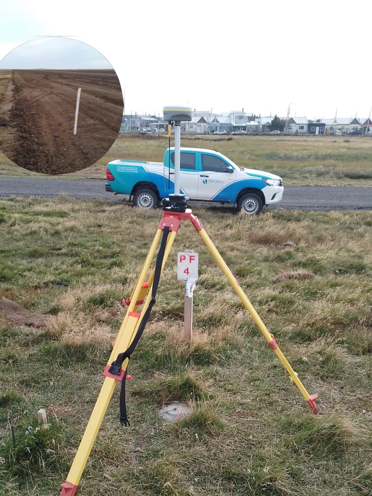
Fieldwork photographs and examples of survey and earthworks documentation.
GNSS RTK and terrain analysis